Geoprocessing with Python
391 kr
391 kr
Fre, 25 jul - tor, 31 jul
Säker betalning
14-dagars öppet köp
Säljs och levereras av
AdlibrisProduktbeskrivning
DESCRIPTION
Geospatial data is hard to ignore. Nearly every car, phone, or camera has a GPS sensor, and aerial photos, satellite imagery, and data representing political boundaries, roads, rivers, and streams are available for free download from many websites. Geoprocessing is the science of reading, analyzing, and presenting geospatial data programmatically. The Python language, along with dozens of open source libraries and tools, makes it possible to take on professional geoprocessing tasks without investing in expensive proprietary packages like ArcGIS and MapInfo.
Geoprocessing with Python teaches how to use the Python programming language along with free and open source tools to read, write, and process geospatial data. It shows how to access available data sets to make maps or perform analyses using free and open source tools like the GDAL, Shapely, and Fiona Python modules. Readers will master core practices like handling multiple vector file formats, editing and manipulating geometries, applying spatial and attribute filters, working with projections, and performing basic analyses on vector data. They’ll also learn how to create geospatial data, rather than just consuming it. The book also covers how to manipulate and analyze raster data, such as aerial photographs, satellite images, and digital elevation models.
KEY SELLING POINTS
Geoprocessing from the ground up
Shows how to create custom geoprocessing tools
Takes advantage of free and open source tools
AUDIENCE
Readers need a basic knowledge of Python or a similar programming language. No previous experience with geoprocessing or geospatial data required. Perfect for readers who have used Python with Esri ArcGIS and want to apply their Python skills elsewhere.
ABOUT THE TECHNOLOGY
Geoprocessing is the science of reading, analyzing, and presenting geospatial data programmatically. The Python language, along with dozens of open source libraries and tools, makes it possible to take on professional geoprocessing tasks without investing in expensive proprietary packages like ArcGIS and MapInfo.
Artikel.nr.
0ac56477-43af-4aad-a389-0dc508a25c3a
Egenskaper | |
|---|---|
Slag | Science Fiction |
Språkversion | Engelska |
Bokomslagstyp | |
Antal sidor | 360 sidor |
Skrivet av | Chris Garrard |
Utgivare | Manning |
Släpp datum | 23/05/2016 |
International Standard Book Number (ISBN) | 9781617292149 |
Geoprocessing with Python
391 kr
391 kr
Fre, 25 jul - tor, 31 jul
Säker betalning
14-dagars öppet köp
Säljs och levereras av
AdlibrisLiknande toppsäljare

3-pack rakblad kompatibel med Philips Oneblade Replacement
159 kr

POP MART Labubu The Monsters Exciting Macaron Vinyl Face Blind Box
499 kr

Apple AirPods Pro (andra generationen) 2023 med MagSafe-fodral (USB-C)
2 698 kr

POP MART Labubu The Monsters Big Into Energy Series Figures Vinyl Plush Pendant Blind Box
499 kr

iPhone Snabbladdare USB-C PD 3.0. 20W Strömadapter + Kabel
117 kr

Apple AirPods 4 med aktiv brusreducering
2 060 kr

Trådlös CarPlay adapter 2025 - En smart och modern lösning för din bil
219 kr
Tidigare lägsta pris:
295 kr

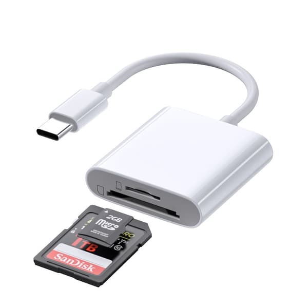
INF TYPE-C Dubbel SD/TF-kortläsare för snabb dataöverföring 0
79 kr

PÅFYLLNINGSSATS FÖR LUFTKONDITIONERING R134A-VÄTSKA
384 kr

16-pack Premium Mat - Förvaring - Lufttäta Burkar med Lock - Matlådor
299 kr
Tidigare lägsta pris:
349 kr
Rekommendationer för dig

UNIQ XL Hollywood Spegel med 15 LED-lampor och touch-funktion - sminkspegel med belysning - hollywoodspegel
749 kr
Tidigare lägsta pris:
795 kr

FENCHILIN Hollywood sminkspegel med belysning - 360° vridbar - dimbar med tre ljuslägen - spegel med förstoring - bordsskiva vit spegel - 30 x 41 cm
685 kr

Apple AirPods 4 Wireless In-ear
1 578 kr

Vibrationsplattform med rephoppning, träning för hela kroppen Vibrationsträningsplattform massagemaskin för hemmaträning och formning Svart
999 kr

Fjärrkontroll Philips Smart TV med Netflix – Universell
89 kr
Tidigare lägsta pris:
99 kr

INF Öronkuddar för Bose QC35 I/II, QC25, QC15, QC 2 AE 2, AE 2i, AE 2w, SoundTrue, SoundLink
79 kr
Tidigare lägsta pris:
99 kr

UNIQ XL Hollywood Spegel med 15 LED-lampor och touch-funktion - sminkspegel med belysning - hollywoodspegel
749 kr
Tidigare lägsta pris:
795 kr

X500 Trådlösa Bluetooth Hörlurar - 30 timmar C4U® ANC ENC BT 5.3
269 kr
Tidigare lägsta pris:
399 kr

INF Tillbehör för Roborock S5/S6 modeller 7 delar
149 kr

Usb-c till Lightning-kabel (3 m)
59 kr
Tidigare lägsta pris:
79 kr