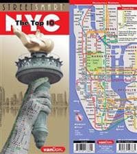
Streetsmart NYC Top 10 Map by Vandam
226 kr
226 kr
Tidigare lägsta pris:
232 kr
Tor, 22 maj - ons, 28 maj
Säker betalning
14-dagars öppet köp
Säljs och levereras av
Adlibris
Produktbeskrivning
Contents: Manhattan Street map scale 1:32,000 Uptown Manhattan Map 1:33,000 Manhattan Subway Map 3D Poster of Manhattan Skyscrapers
StreetSmart (R) 2025 NYC Top 10 Edition is so clear and easy to understand you can navigate the city with ease. The map combines the trusted NYC Midtown Edition map with a 3D skyline poster to create a graphic souvenir you can hang on your wall.
For instance: You are looking to get from your Tribeca hotel to the High Line to meet friends at the Spanish Mercado in Hudson Yards, looking for the fastest subway connection from the Lower East Side to the new Lena Horne theater in Midtown, negotiating the shifting grids of the West Village, looking for the right uptown exit on the FDR Drive, making sense of the Dutch Colonial Grid Downtown to find the 9/11 National Memorial before dusk for that perfect shot, or hiking from the Met through Central Park to head to the Apollo Theater in Harlem for a show. The map shows you the shortest route as well as the closest bathrooms.
Locals call Manhattan "the City" and refer to the boroughs of Brooklyn, The Bronx, Queens and Staten Island collectively referred to as the City of New York.
The 3D Skyline poster view shows you Manhattan from the Brooklyn and Queens perspectives across the East River with all buildings clearly labeled. The top 10 must does are illustrated with a cheeky description revealing the New Yorker's perspective on the vertical city.
StreetSmart NYC TOP 10 Edition makes you feel you are there. Included are complete transit information with all ferry connections, and an address finder covering all of New York City. In fact all subway stops are shown by their respective line in context right on the street map in detail as well as on an overview map so you understand the system.
Stephan Van Dam, the map designer has lived in Manhattan for over 40 years and knows the city inside out. The map is updated four times a year and the most current map available. So get StreetSmart (R) NYC Map Top 10 Edition and become an instant New Yorker.
Artikel.nr.
860b8a47-1be8-5510-9314-0756e833506f
Streetsmart NYC Top 10 Map by Vandam
226 kr
226 kr
Tidigare lägsta pris:
232 kr
Tor, 22 maj - ons, 28 maj
Säker betalning
14-dagars öppet köp
Säljs och levereras av
Adlibris
Liknande toppsäljare

Apple AirPods 4 Wireless In-ear
1 559 kr
Tidigare lägsta pris:
1 569 kr

Apple AirPods Pro (andra generationen) 2023 med MagSafe-fodral (USB-C)
2 549 kr
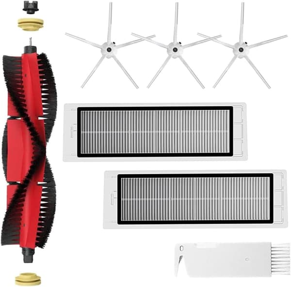
INF Tillbehör för Roborock S5/S6 modeller 7 delar
149 kr
Tidigare lägsta pris:
199 kr
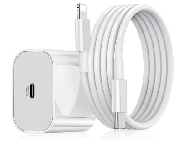
Kompatibel iPhone snabbladdare USB-C strömadapter 20W + 2m Kabel
99 kr
Tidigare lägsta pris:
119 kr

POP MART Labubu The Monsters Macaron 17 cm
159 kr

Pool Robot Scooby
4 999 kr
Tidigare lägsta pris:
5 429 kr
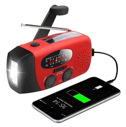
Röd Vevradio med Solceller, Ficklampa och 2000mAh Powerbank Nödradio, Överlevnad
149 kr
Tidigare lägsta pris:
436 kr
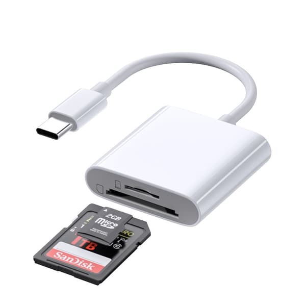
INF TYPE-C Dubbel SD/TF-kortläsare för snabb dataöverföring 0
79 kr

Elastiskt träningsband till fotboll - Gul/Svart
114 kr
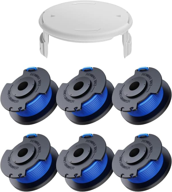
INF 6-pack trimmerspolar med trimmertråd och lock RYOBI grästrimmer
142 kr
Tidigare lägsta pris:
189 kr
Rekommendationer för dig

Munspel - C-durskala
99 kr
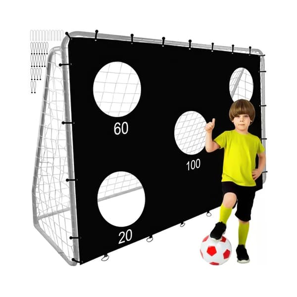
Fotbollsmål i Metall med Prickskytteduk - 240x170cm
999 kr
Tidigare lägsta pris:
1 299 kr
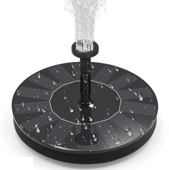
Vattenfontän solcellsdriven 16 cm solcellsfontän vatten fontän utomhus Svart
179 kr
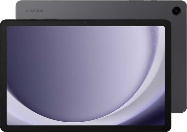
Samsung Galaxy Tab A9+ 11.0 SM-X210 64GB grafit
1 984 kr
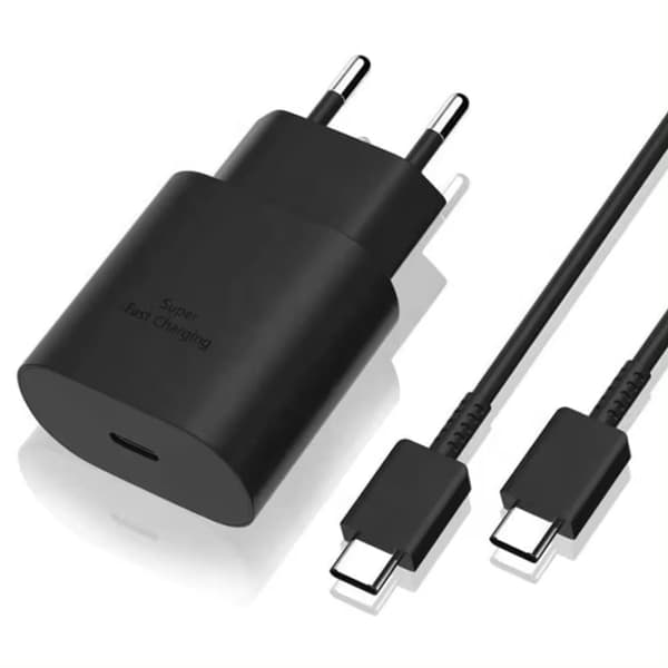
Laddare till Samsung 25W - Snabbladdare USB-C - Strömadapter+Kabel 1M
99 kr
Tidigare lägsta pris:
119 kr

Sony PlayStation DualSense - White (PS5)
798 kr
Tidigare lägsta pris:
847 kr
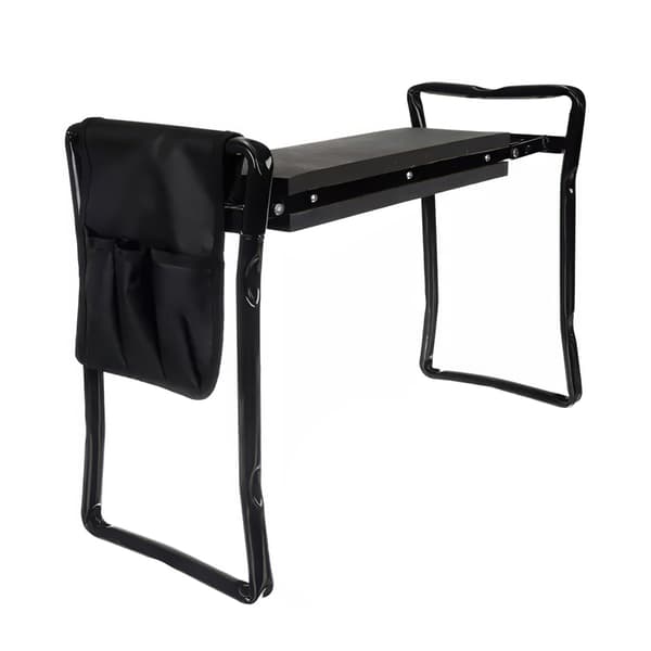
Hopfällbar Trädgårdspall med Verktyg / Knäpall - Pall
349 kr
Tidigare lägsta pris:
399 kr
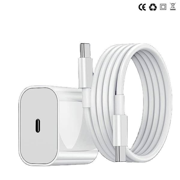
Laddare för iPhone 15 / iPhone 16 + 2M kabel Snabbladdare USB-C till USB-C
99 kr

FENCHILIN Hollywood sminkspegel med belysning 360° vridbar spegel med förstoring dimbar med tre ljuslägen bordsskiva spegel med lampor Vit 65 x 49 cm
795 kr
Tidigare lägsta pris:
933 kr
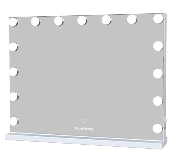
Bright Beauty Vanity Namira - sminkspegel med belysning - hollywoodspegel - make up spegel - vit - dimbar med tre ljuslägen
849 kr
Tidigare lägsta pris:
899 kr