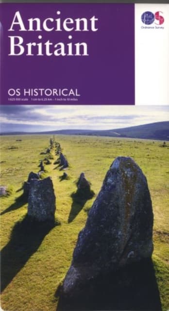
Ancient Britain
154 kr
154 kr
I lager
Fre, 18 sep - tis, 22 sep
Hemleverans
Säker betalning
14-dagars öppet köp
Säljs och levereras av
Produktbeskrivning
The OS Historical Map series comprises of Ancient Britain and Roman Britain. Each archaeological period is identified using different symbols and colours to show sites from the Stone Age through to the early Middle Ages against a modern map base, double-sided to cover the whole country. The Ancient Britain map and guide is complemented by a timeline that shows British events in relation to wider history. Key sites of significant historical interest are highlighted using photographs, text and thumbnail mapping from the OS Landranger map series. Additional information, such as a list of archaeological terms, suggested reading and museums to visit, is also included.
Artikel.nr.
7ffbe372-3a1f-5bae-b6dd-c8183f9e44c6
Bokdetaljer | |
|---|---|
Format | Falsad |
Språk | English |
Utg.datum | 2016-02-24 |
Förlag | Ordnance Survey |
Författare | Ordnance Survey |
Dimensioner | 237 × 141 × 12 mm |
Vikt | 130 g |
ISBN | 9780319263242 |
Ursprungsland | GB |
Ancient Britain
154 kr
154 kr
I lager
Fre, 18 sep - tis, 22 sep
Hemleverans
Säker betalning
14-dagars öppet köp
Säljs och levereras av