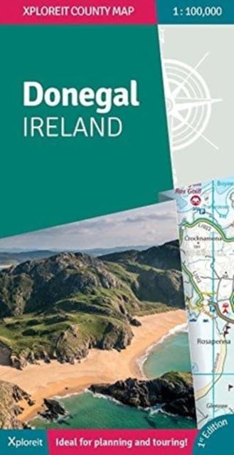
Donegal Ireland
332 kr
332 kr
Få kvar
Fre, 18 sep - tis, 22 sep
Hemleverans
Säker betalning
14-dagars öppet köp
Säljs och levereras av
Produktbeskrivning
Xploreit Maps is an Irish publisher of maps and atlases. The Xploreit County Series covers the western coastal counties in a set of double-sided maps ranging from County Cork in the southwest to County Donegal in the northwest. This map of County Donegal highlights local and long distance walking trails, cycle routes and scenic drives. The road network includes local roads with driving distances indicated on the main routes. Parking spots, passenger ferry routes, harbours and local piers are included. Woodland areas, mountains, rivers and lakes clearly marked. A large set of symbols is used to illustrate antiquities, golf courses, museums, heritage centres, beaches for surfing and swimming, campsites, caravan parks and many other local points of interest. Key Points:* All of Donegal on a single map* Easy to read, clear mapping* Local walks and cycleways* Wild Atlantic Way driving route* Tourist attractions highlighted* Handy street plan of Donegal town* Detailed Index* Scale is 1:100,000* Map legend in English, German and French
Artikel.nr.
c5fa363b-c107-5396-95b1-ac524120feb9
Bokdetaljer | |
|---|---|
Format | Falsad |
Språk | English |
Utg.datum | 2018-01-31 |
Förlag | Fountain Software and Publications Ltd |
Författare | Mike Meagher and Mike Meagher, |
Dimensioner | 260 × 140 × 9 mm |
Vikt | 132 g |
ISBN | 9780955265587 |
Ursprungsland | IE |
Donegal Ireland
332 kr
332 kr
Få kvar
Fre, 18 sep - tis, 22 sep
Hemleverans
Säker betalning
14-dagars öppet köp
Säljs och levereras av