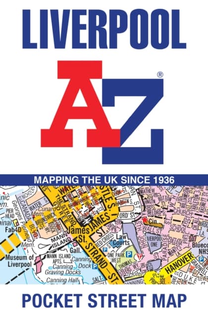
Liverpool A-Z Pocket Street Map
93 kr
93 kr
Få kvar


Fre, 2 okt - tis, 6 okt
Hemleverans
Säker betalning
14-dagars öppet köp
Säljs och levereras av
Produktbeskrivning
Navigate your way around Liverpool with detailed street maps from A-ZThis fully updated, folded map covers all of Central London, including: Regent''s Park, King''s Cross, The Barbican, Spitalfields, Tower Bridge, The South Bank, Waterloo Station, Westminster, South Kensington, Paddington Station and Lord''s Cricket Ground.The large scale 1 mile to 5.5 inch (1 km to 8.68 cm) street map includes the following:• Places of interest• One-way streets and car parks• Index to streets, places of interest, place and area names, park and ride sites, national rail stations, hospitals and hospices• Separate lists of streets, places of interest, cinemas, theatres and stations (which include London Underground, National Rail and Docklands Light Railway stations)• A central London Underground Map is printed on the back cover.The perfect reference map for finding your way around Central London.
Artikel.nr.
67addc75-a1f0-5fc5-b876-a3a2c3614794
Bokdetaljer | |
|---|---|
Format | Falsad |
Språk | English |
Antal sidor | 2 |
Utg.datum | 2024-05-23 |
Förlag | HarperCollins Publishers |
Författare | A-Z Maps |
Dimensioner | 140 × 94 × 5 mm |
Vikt | 42 g |
ISBN | 9780008657352 |
Ursprungsland | GB |
Liverpool A-Z Pocket Street Map
93 kr
93 kr
Få kvar
Fre, 2 okt - tis, 6 okt
Hemleverans
Säker betalning
14-dagars öppet köp
Säljs och levereras av