-1 %
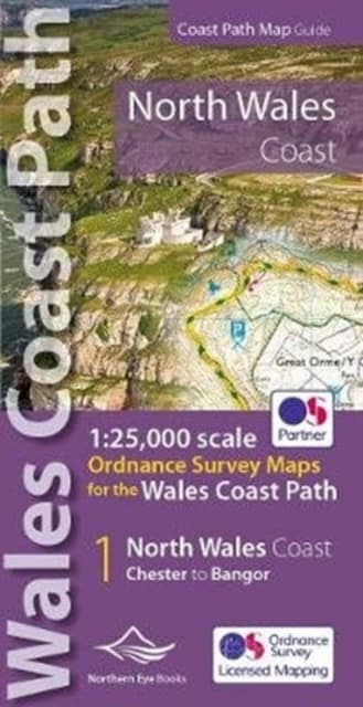
North Wales Coast Path Map
237 kr
237 kr
Tidigare lägsta pris:
240 kr
I lager
Tis, 10 nov - tor, 12 nov
Hemleverans
Säker betalning
14-dagars öppet köp
Säljs och levereras av
Produktbeskrivning
One of seven handy, lightweight, pocket sized map books covering the whole of the 870 mile/1400 kilometre Wales Coast Path. This volume covers North Wales from Chester to Bangor and includes enhanced large scale (1:25,000) Ordnance Survey mapping in a handy atlas format, with extracts from large scale Explorer maps 266, 265, 264 and OL17. The official route of the Wales Coast Path is highlighted and on-map symbols show amenities at main towns and villages. There is an introduction and additional useful information.
Artikel.nr.
663afbb0-8715-5015-a889-e73602e47831
Bokdetaljer | |
|---|---|
Format | |
Språk | English |
Antal sidor | 48 |
Utg.datum | 2022-03-02 |
Förlag | Northern Eye Books |
Dimensioner | 112 × 213 × 7 mm |
Vikt | 80 g |
ISBN | 9781908632586 |
Ursprungsland | GB |
North Wales Coast Path Map
237 kr
237 kr
Tidigare lägsta pris:
240 kr
I lager
Tis, 10 nov - tor, 12 nov
Hemleverans
Säker betalning
14-dagars öppet köp
Säljs och levereras av