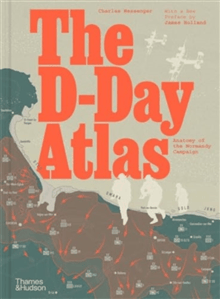
The D-Day Atlas
437 kr
437 kr
I lager
Fre, 30 okt - tis, 3 nov
Hemleverans
Säker betalning
14-dagars öppet köp
Säljs och levereras av
Produktbeskrivning
A vivid re-creation of the D-Day invasion and its aftermath, told through detailed maps, authoritative text by a noted military historian and contemporary photographs. This powerful study chronicles the evolution of the invasion plan and culminates in a day-by-day account of the landings by sea and by air on the Normandy beaches, followed by the grim six-week struggle to break through the German defences. An important feature is the space devoted to the German point of view, based on the latest archival research, and the organization of the French Resistance in northern and western France. At the heart of the book are 71 maps in full colour, many drawing in detail on those used by the Allies in 1944. Specially commissioned reconstruction drawings and contemporary photographs help bring the beaches and bocage of Normandy to life.
Artikel.nr.
4ae1d01c-07bc-5d47-9a2a-6e578ab758b0
Egenskaper | |
|---|---|
Skrivet av | Charles Messenger, James Holland |
Antal sidor | 176 sidor |
Släpp datum | 16/05/2024 |
Klassificering | |
International Standard Book Number (ISBN) | 9780500297643 |
Vikt & dimension | |
Bredd | 216 mm |
Höjd | 292 mm |
The D-Day Atlas
437 kr
437 kr
I lager
Fre, 30 okt - tis, 3 nov
Hemleverans
Säker betalning
14-dagars öppet köp
Säljs och levereras av