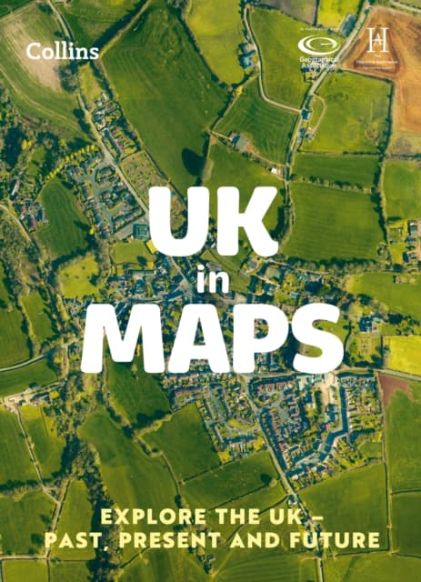
UK in Maps
154 kr
154 kr
Få kvar
Mån, 26 okt - ons, 28 okt
Hemleverans
Säker betalning
14-dagars öppet köp
Säljs och levereras av
Produktbeskrivning
The must-have thematic atlas for KS2 and beyondBring geography, history and the environment together with this thematic UK atlas suitable for Key Stage 2 and lower Key Stage 3.Fully up-to-date and endorsed by the Geographical and Historical Associations, it helps children to understand how things came to be, as well as how they might change in years to come.UK in Maps investigates themes with a focus on environmental issues, energy, transport, farming and tourism and includes reference maps for all the different regions of the UK.Ideal for classroom use and home learning, it provides opportunities for pupils to conduct their own enquiries and explore maths in context using maps, satellite images, diagrams, charts and photographs.Also available: World in Maps ISBN 9780008556471
Artikel.nr.
b1202ad6-a2ad-5b2e-b7f2-0d531537333f
Bokdetaljer | |
|---|---|
Format | |
Språk | English |
Antal sidor | 56 |
Utg.datum | 2023-03-02 |
Förlag | HarperCollins Publishers |
Författare | Collins Kids and Collins Kids, |
Dimensioner | 225 × 312 × 7 mm |
Vikt | 236 g |
ISBN | 9780008556488 |
Ursprungsland | AT |
UK in Maps
154 kr
154 kr
Få kvar
Mån, 26 okt - ons, 28 okt
Hemleverans
Säker betalning
14-dagars öppet köp
Säljs och levereras av